Help Utahns understand their communities and hold government accountable. Through nonpartisan, AI-assisted research, we examine public records, follow decisions and votes, and connect readers with local news, events and places.
Flood damage near the Court of the Patriarchs in Zion National Park, Dec. 9, 1966. Archival photo, not current damage. Courtesy Zion National Park; photographer Fred R. Brueck (ZION 8538). Photo: Fred R. Brueck, courtesy Zion National Park · Public domain · Wikimedia Commons (Zion National Park Museum and Archives, ZION 8538)
Flood damage near the Court of the Patriarchs in Zion National Park, Dec. 9, 1966. Archival photo, not current damage. Courtesy Zion National Park; photographer Fred R. Brueck (ZION 8538). Photo: Fred R. Brueck, courtesy Zion National Park · Public domain · Wikimedia Commons (Zion National Park Museum and Archives, ZION 8538)
The National Weather Service said parts of the Escalante River basin saw up to 3.5 inches of rain in 36 hours.
· From The Salt Lake Tribune
i
Hurricane-LaVerkin Bridge over the Virgin River, photographed August 1993. Archival photo, resized; display cropped. It is not a photo of the flooding. Photo: Brian C. Grogan, National Park Service (Historic American Engineering Record) · Public domain · Wikimedia Commons / Library of Congress HAER UT-76-3 (US federal work)
Hurricane-LaVerkin Bridge over the Virgin River, photographed August 1993. Archival photo, resized; display cropped. It is not a photo of the flooding. Photo: Brian C. Grogan, National Park Service (Historic American Engineering Record) · Public domain · Wikimedia Commons / Library of Congress HAER UT-76-3 (US federal work)
 Flood damage near the Court of the Patriarchs in Zion National Park, Dec. 9, 1966. Archival photo, not current damage. Courtesy Zion National Park; photographer Fred R. Brueck (ZION 8538). Photo: Fred R. Brueck, courtesy Zion National Park · Public domain · Wikimedia Commons (Zion National Park Museum and Archives, ZION 8538)
 Hurricane-LaVerkin Bridge over the Virgin River, photographed August 1993. Archival photo, resized; display cropped. It is not a photo of the flooding. Photo: Brian C. Grogan, National Park Service (Historic American Engineering Record) · Public domain · Wikimedia Commons / Library of Congress HAER UT-76-3 (US federal work)
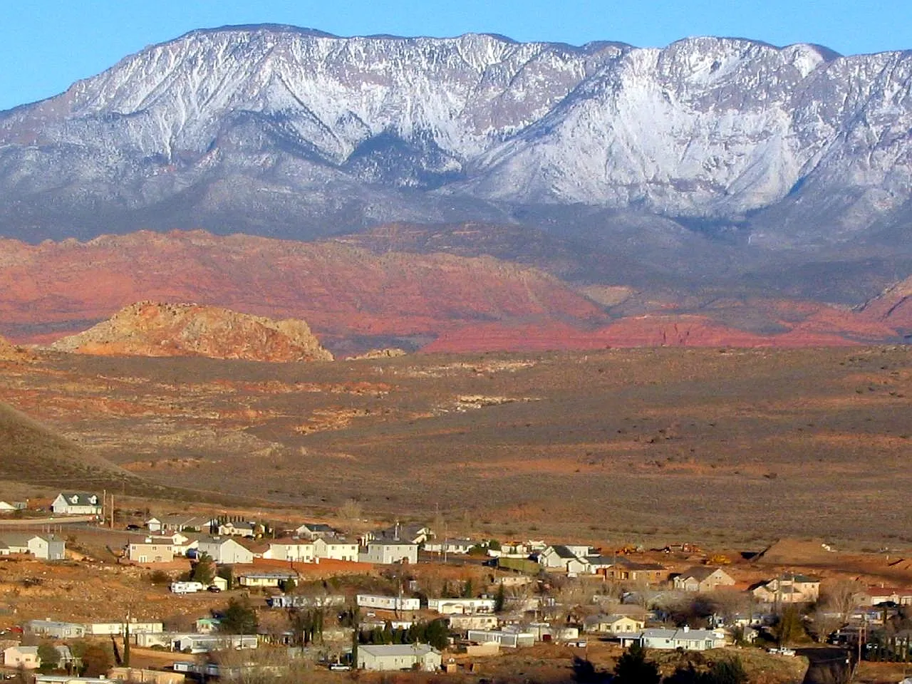 Photo: Ken Lund from Reno, Nevada, USA · CC BY-SA 2.0 · Wikimedia Commons